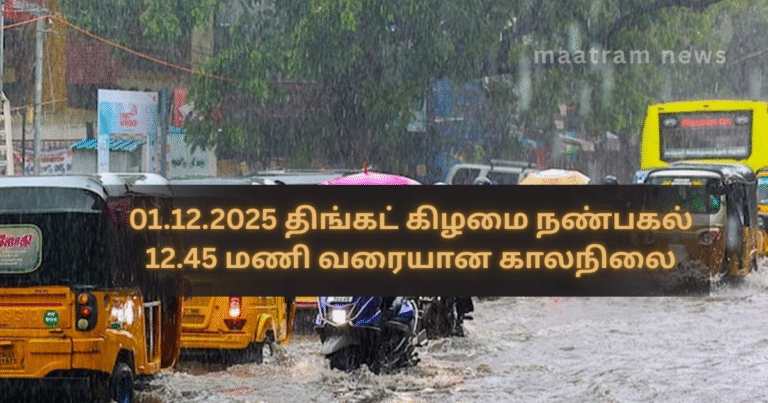
01.12.2025 திங்கட் கிழமை நண்பகல் 12.45 மணி வரை டிட்வா புயலின் அமுக்க Weather Update as of 01.12.2025, Monday, 12:45 PM நிறைவுச் செயற்பாட்டின் காரணமாக வடக்கு மற்றும் கிழக்கு மாகாணங்களின் சில பகுதிகளுக்கு இன்று மிதமானது முதல் கனமானது வரை மழை கிடைக்கும் வாய்ப்புள்ளது. குறிப்பாக வட மாகாணத்தின் மேற்கு பகுதிகள் குறிப்பாக மன்னார் தீவு, மாந்தை மேற்கின் சில பகுதிகள், நானாட்டானின் சில பகுதிகள், கிளிநொச்சியின் மேற்கு பகுதிகள் கனமழையைப் பெறும் வாய்ப்புள்ளது.
ஆனாலும் இன்று மாலைக்கு பின்னர் படிப்படியாக மழை குறைந்துவிடும். ஆகவே இது தொடர்பாக பதட்டமடைய தேவையில்லை.
மீண்டும் ஒரு புயல் வருமா என பலர் வினவுகின்றார்கள். இன்றைய நிலையில் வங்காள விரிகுடாவில் டிட்வா புயலைத் தவிர வேறு எந்த காற்றுச்சுழற்சியோ, வளி மண்டல மேலடுக்கு சழற்சியோ இல்லை.
ஆனாலும் எதிர்வரும் ஜனவரி இறுதிப்பகுதி வரை வடகீழ்ப் பருவக்காற்று காலம் என்பதனால் அது வரைக்கும் இடையிடையே மிதமான, கனமான மற்றும் மிகக்கனமழைகள் கிடைக்கும் வாய்ப்புள்ளது என்பதனை நினைவில் கொள்க.
இடைப்பட்ட காலத்தில் ஏதாவது தீவிர வானிலை நிகழ்வுகள் இடம்பெறும் வாய்ப்பிருந்தால் உரிய காலத்தில் உங்களுக்கு தெரிவிக்கப்படும். அது வரை தேவையற்ற வதந்திகளைப் புறந்தள்ளுங்கள்.
டிட்வா புயல் தற்போது ஆழ்ந்த காற்றழுத்த தாழ்வு மண்டலமாக வலுக்குறைந்து சென்னைக்கு கிழக்காக 60 கி.மீ. தொலைவில் நிலை கொண்டுள்ளது. இது அடுத்த 48 மணி நேரத்தில் சென்னைக்கு அண்மையாக கரையைக் கடக்கும் என எதிர்பார்க்கப்படுகிறது.
டிட்வா புயல் இன்னும் கரையைக் கடக்கவில்லை என்பதனால் வடக்கு மாகாணக் கடற்பகுதிகள் கொந்தளிப்பான நிலையில் காணப்படும் என்பதனால் மீனவர்கள் கடலுக்கு செல்வதில் அவதானமாக இருப்பது அவசியம்.
- நாகமுத்து பிரதீபராஜா –
மேலதிக தகவல்களுக்கு மாற்றம் செய்திகள் இணையத்தளத்தினுள் பிரவேசியுங்கள்.
மேலதிக தகவல்களை உடனுக்குடன் பெற்றுக்கொள்ள மாற்றம் செய்திகள் முகநூல் பக்கத்தை பின்தொடரவும்.
Weather Update as of 01.12.2025, Monday, 12:45 PM
Due to the final impact phase of Cyclone Ditva, some areas in the Northern and Eastern Provinces are likely to receive moderate to heavy rainfall today. In particular, the western parts of the Northern Province, including Mannar Island, certain areas of Mantai West, parts of Nanattan, and the western parts of Kilinochchi, are expected to experience heavy rainfall.
However, the rain is expected to gradually decrease after this evening, so there is no need for unnecessary fear or panic.
Many people are asking whether another cyclone will form. As of today, apart from Cyclone Ditva, there is no other wind circulation or upper-air disturbance in the Bay of Bengal.
However, since we are currently in the Northeast Monsoon season, which continues until the end of January, please keep in mind that intermittent moderate, heavy, and very heavy rains are still possible from time to time.
If any severe weather conditions are likely to occur during this period, you will be informed in advance. Until then, please ignore unnecessary rumors.
Cyclone Ditva has now weakened into a deep depression and is currently positioned 60 km east of Chennai. It is expected to make landfall near Chennai within the next 48 hours.
Since Cyclone Ditva has not yet made landfall, the sea areas around the Northern Province will remain rough, and therefore fishermen are advised to exercise caution when venturing into the sea.